Redistricting Plan
IN Least Change AEW
Author: Amir Wright
Redistricting Principle(s) Prioritized: Least Change
Date: Oct 19, 2021
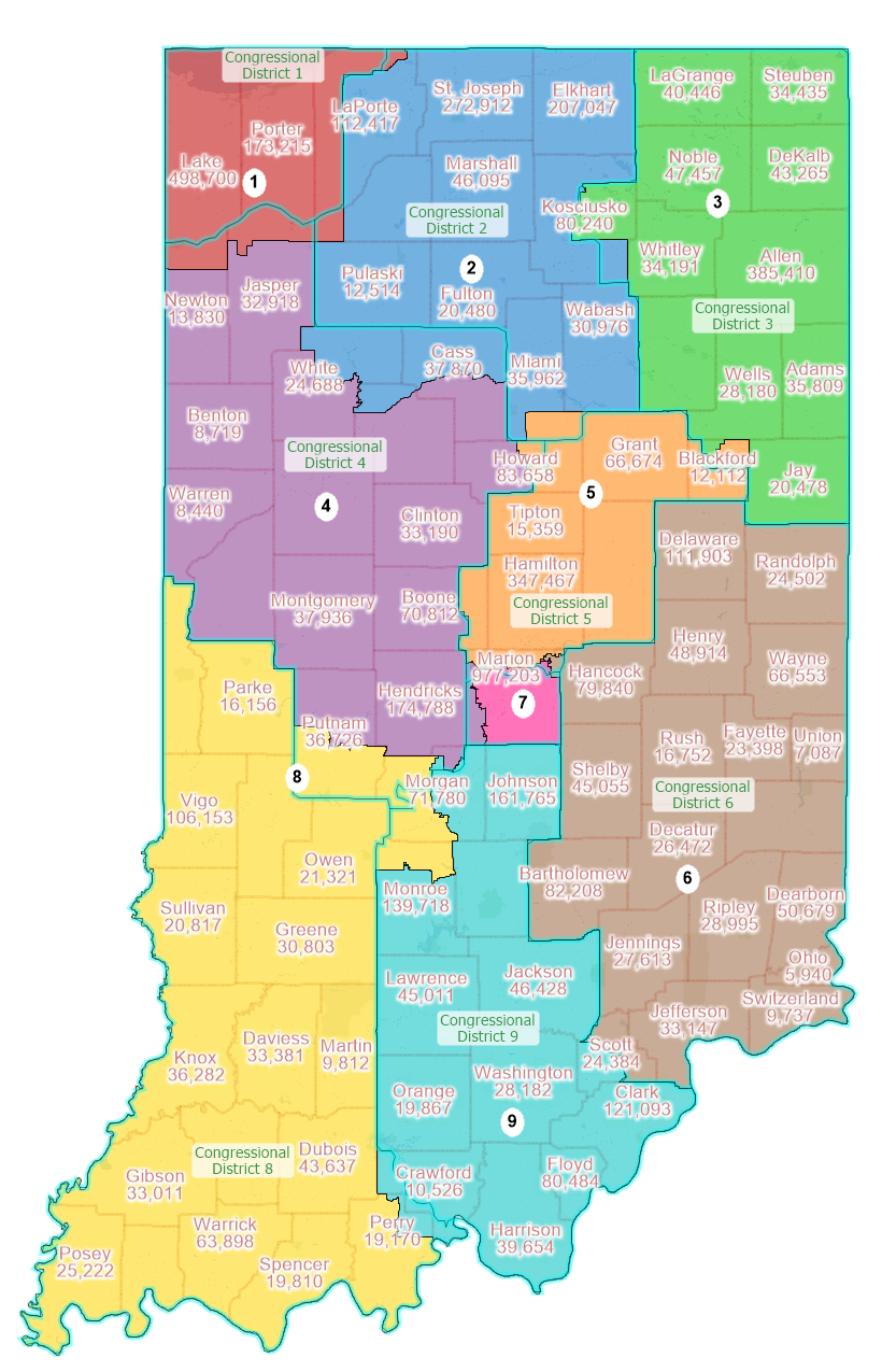
This map attempts to adjust Indiana's congressional districts to reflect the population shift since the 2010 census. As a least change map, the plan makes some small adjustments while respecting the current borders of each district. Most of the changes came in rural areas of the state so as not to tamper with demographic data. Indianapolis and other population centers remain largely unchanged.

Plan Images
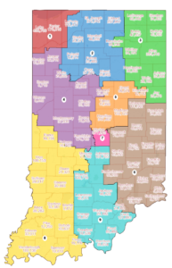
| Image of Statewide Plan |
| Map Book |
| Prior Boundaries |
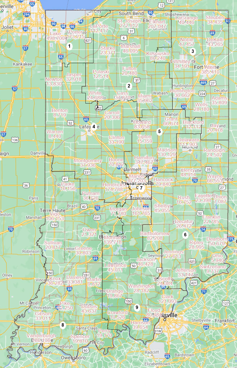
| Google Maps Overlay |
| District 1 |
| District 2 |
| District 3 |
| District 4 |
| District 5 |
| District 6 |
| District 7 |
| District 8 |
| District 9 |
Summary Statistical Reports
| Compactness |
| Political Subdivision Splits |
| Community of Interest (County and District) |
| Community of interest (Landscape, 11 x 8.5) |
Plan Data
| Block Equivalency CSV |
| Boundaries, GeoJSON |