Redistricting Plan
Ohio Good Government
Author: Axel Hufford
Redistricting Principle(s) Prioritized: Good Government and Least Change
Date: Oct 6, 2021
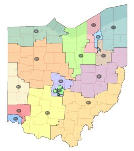
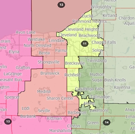
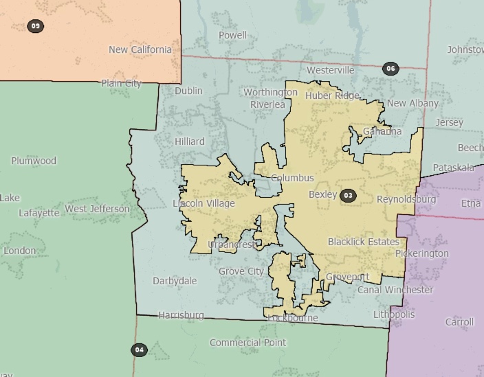
This plan attempts to abide by Ohio's latest redistricting requirements by minimizing county splits and otherwise following good government principles. It also has some elements of a "least change" plan by largely maintaining Columbus's current district and encapsulating much of Ohio's 11th Congressional district (parts of Cleveland and Akron) again into a single district.

Plan Images
| Image of Statewide Plan |
| Cleveland |
| Columbus |
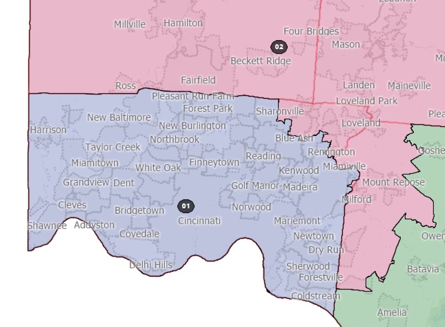
| Cincinnati |
| Racial Demographic Maps |
| Partisanship by District (Based on 2020 vote share) |
Documents
| Political Subdivision Splits - County |
| Political Subdivision Splits - City |
| Measures of Compactness |
| Mapbook 1 - Google Hybrid Version |
| Mapbook 2 - Google Maps Version |
| Mapbook 3 - Detailed Data View |
Demographic Breakdown of Districts
| Data view (Excel format) |
Plan Data
| Block Equivalency CSV |
| Boundaries, GeoJSON |