Redistricting Plan
Louisiana Least Change Plan
Author: Maura Carey
Redistricting Principle(s) Prioritized: Least Change
Date: Oct 17, 2021
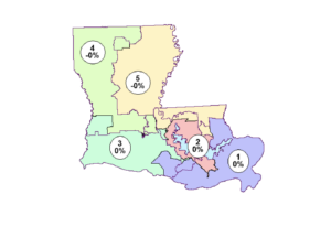
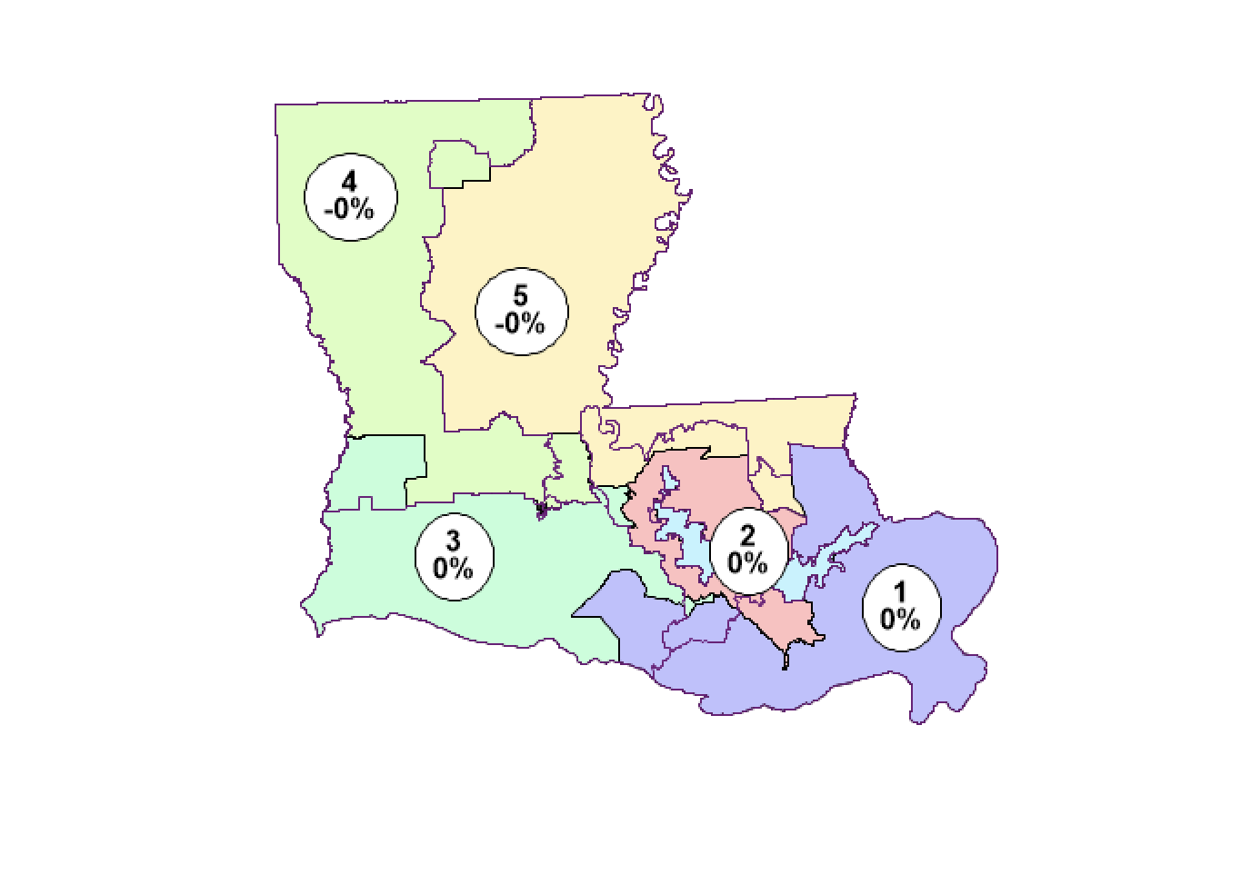
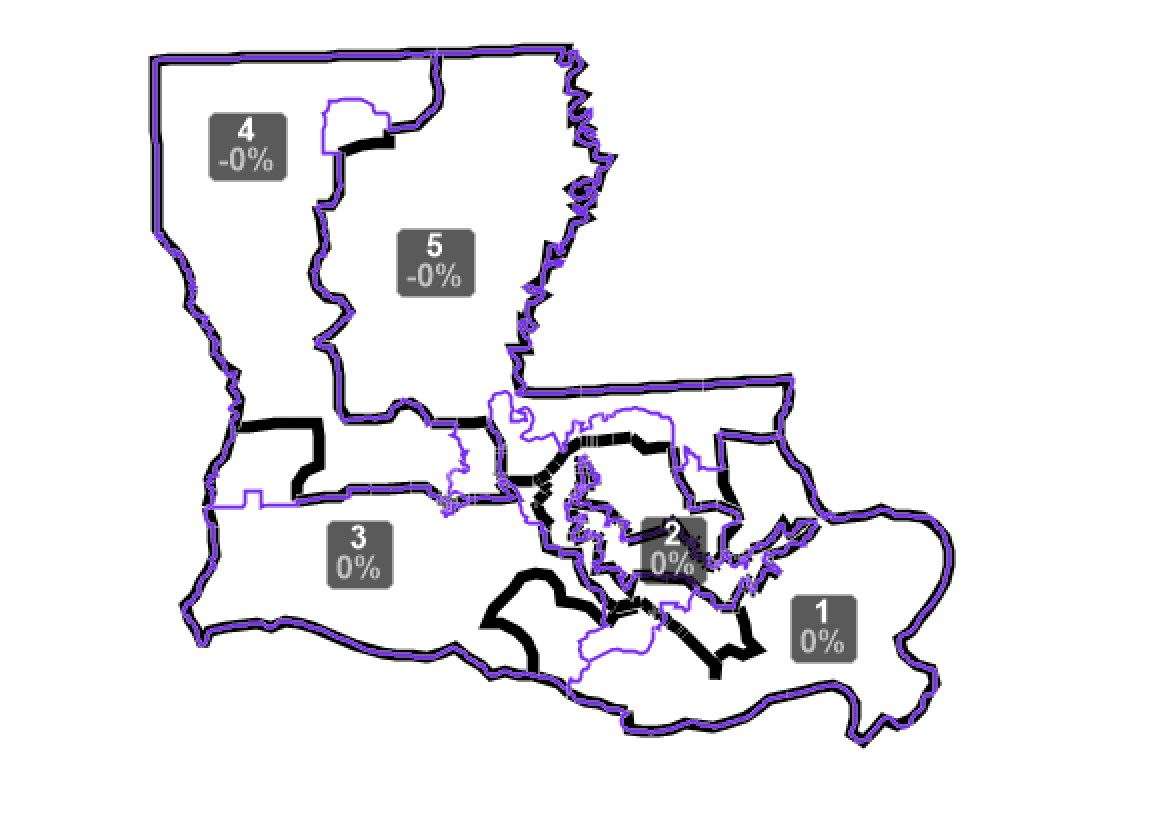
Congressional plans in Louisiana must comply with all federal requirements, but the state constitution does not list additional criteria. This plan achieves perfect population equality across districts, respects political subdivisions, and is contiguous. The districts have an average Reock compactness score of .35.
Plan Images
| Image of Statewide Plan |
| Comparison with Prior Boundaries (prior boundaries in purple) |
| Mapbook of all Districts |
Documents
| PlanScore Assessment |
Summary Statistical Reports
| Communities of interest (County and District) |
| Communities of interest (Landscape) |
| Measures of compactness report |
| Political subdivisions report |
Demographic Breakdown of Districts
| Data view (Excel format) |
Plan Data
| Block Equivalency CSV |
| Boundaries, GeoJSON |